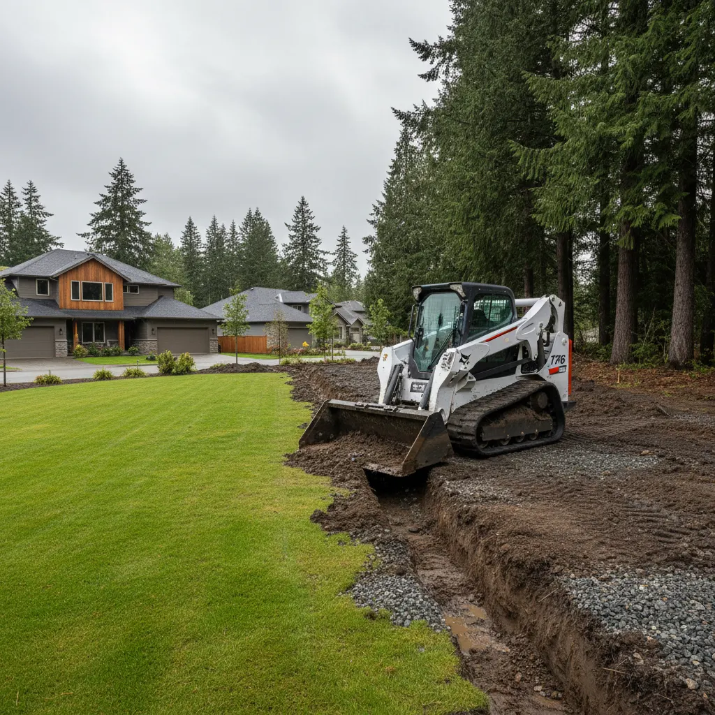
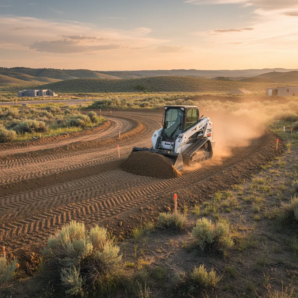
Earth Works
Driveway Excavation in Burbank: 6 Drainage and Slope Issues to Fix Before Land Leveling Across Rural Acreage
A straight looking driveway route can still hide runoff paths, weak soil and grade breaks that turn into washouts. Six things to check before land leveling starts on rural Burbank acreage.

When rural access is planned on raw ground, the difference between a durable entrance and a recurring maintenance headache usually comes down to what gets evaluated before the first pass of equipment. For land leveling in Burbank, driveway excavation decisions should start with drainage and slope behavior, not just the finished line of the route. A straight looking driveway can still hide runoff paths, weak soil, abrupt grade changes and low spots that turn into washouts or rutting after the first heavy irrigation cycle or storm.
This matters most on larger parcels, where long approach distances, uneven native terrain and shifting soil conditions all affect how well the finished access holds up. Before excavation starts, six site issues are worth understanding: existing runoff patterns, soft subgrade, grade breaks, culvert needs, erosion exposure and approach layout.
1. Track existing runoff before you change the surface
Water already shows how a site wants to behave. Before any cut or fill gets planned, walk the route and look for shallow swales, sediment trails, scoured edges, ponding pockets and shifts in vegetation that point to repeated moisture. Land leveling only improves access when it respects the drainage logic already present on the parcel. Redirect runoff without a plan, and the new drive area is just as likely to collect water as shed it.
On rural acreage, runoff rarely follows one obvious path. It spreads across broad ground in some seasons and narrows into defined channels in others, which is why route selection has to account for where water starts, where it crosses the proposed line, and where it needs to continue once grading is done.
2. Identify soft subgrade before it becomes rutting
A surface can look dry and still sit on weak material underneath. Soft subgrade shows up as pumping soil, persistent dampness, wheel depressions or fine material that breaks down under traffic. This needs to be caught early, because grading over unstable ground can smooth the surface temporarily without fixing the structural problem underneath it. Once vehicles start using the route regularly, ruts tend to come back.
Weak subgrade is common where water lingers, where past agricultural use compacted some zones but not others, or where fill was placed unevenly in the past. The goal is not to make the route look even. It is to build a profile that works with what is actually underneath it.
3. Correct grade breaks that concentrate water
One of the most overlooked issues in driveway excavation is the abrupt grade break, where a slope shifts too quickly from steep to flat, flat to steep, or sidehill to crossing. Those transitions cause water to accelerate, stall or spill off the intended path. Smoothing grade transitions is often just as important as setting the overall elevation of the route.
Grade breaks affect drivability too. A long access route across acreage needs enough consistency for regular vehicle use without dips that hold water or crowns that push flow toward vulnerable edges.
4. Determine where a culvert is necessary
Not every low crossing needs a culvert, but every crossing needs a plan for the water that reaches it. If runoff naturally crosses the future drive alignment, the question is whether that flow can pass safely over the surface or needs to move underneath it. On most parcels, culvert placement is worth deciding before the route is finalized, not after erosion has already shown up.
Drainage width, seasonal flow, sediment load and the consequences of a blockage all factor into that decision. A culvert that is undersized, misaligned or set at the wrong elevation can back up water and take out the edges around it. Sometimes the better long term choice is a route that avoids the concentrated crossing altogether.
5. Evaluate erosion risk on slopes and shoulders
Any time a surface is cut, filled or reshaped, the erosion risk around it changes. Exposed shoulders, long uninterrupted slopes and loose soil at the edge of the travel path can unravel a project that looked clean and finished on day one. Land leveling should be judged on how it performs once water leaves the drive area, not just on how it looks when the equipment pulls out. Concentrated outflow onto unprotected soil is what leads to shoulder loss and sediment movement later.
In practice, that can mean subtle shaping that slows runoff, keeps water out of tire paths, and prevents edges from sloughing off where vehicles turn or pull aside.
6. Lay out the turn, approach and sightline correctly
The route itself is only part of the equation. Approach angle, turn radius, entrance width and the transition into open acreage all determine how well the finished access actually works day to day. An approach that is too tight or too abrupt forces vehicles to track off the prepared surface, which breaks down the edges and adds maintenance. A poor entrance layout can also trap runoff in exactly the spot where traffic is heaviest.
Good layout accounts for daily use, delivery access, turning movement and how the route behaves when it is wet. It also helps to think ahead to the rest of the site plan, so the access line supports future use instead of needing to be moved later.
A practical pre-excavation checklist for rural access
- Walk the proposed route after irrigation or rainfall to see active runoff
- Flag low areas, soft spots and visible tire depressions
- Note sudden slope changes and where water is likely to concentrate
- Identify natural crossing points where a culvert may be needed
- Check shoulders and side slopes for loose soil or erosion exposure
- Map entrance width, turn radius and likely vehicle paths before grading
The most cost effective time to solve a drainage or slope problem is before the land is reshaped. Early evaluation is what keeps washouts, rutting and rework from showing up after the job is finished.
Plan land leveling in Burbank for performance, not just appearance
A successful rural access route is not just cut into place and left to hope for the best. It is planned around water movement, soil behavior, slope transitions and real vehicle use. For homeowners and local business owners on Burbank acreage, land leveling should start with a full look at runoff paths, subgrade stability, grade breaks, culvert needs, erosion exposure and approach layout. Address those six issues before excavation starts, and the finished access holds up better, drains more predictably, and gives the property fewer surprises down the line.
Common questions
Frequently asked
How do I know if my property needs drainage corrections before land leveling?
Look for standing water, sediment trails, shallow channels, recurring muddy areas and vegetation that suggests repeated moisture. If water already crosses or collects along the planned route, drainage should be evaluated before land leveling so the finished grade does not trap runoff or create a washout later.
Can land leveling fix a driveway area that keeps rutting?
It can help, but only once the cause of the rutting is identified. If the real issue is soft subgrade, poor drainage or an abrupt grade change, reshaping the surface alone may not hold for long. A proper plan addresses the water movement and soil conditions underneath, not just the smoothness on top.
When is a culvert needed during rural access preparation?
A culvert usually comes into play when natural runoff crosses the access line and needs to pass beneath the route without eroding it. The decision depends on the width of the drainage path, seasonal flow, sediment and whether the water can move across the surface safely instead. Placement and elevation matter as much as the culvert itself.